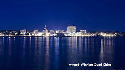
Stats And The Facts Behind The Quad Cities
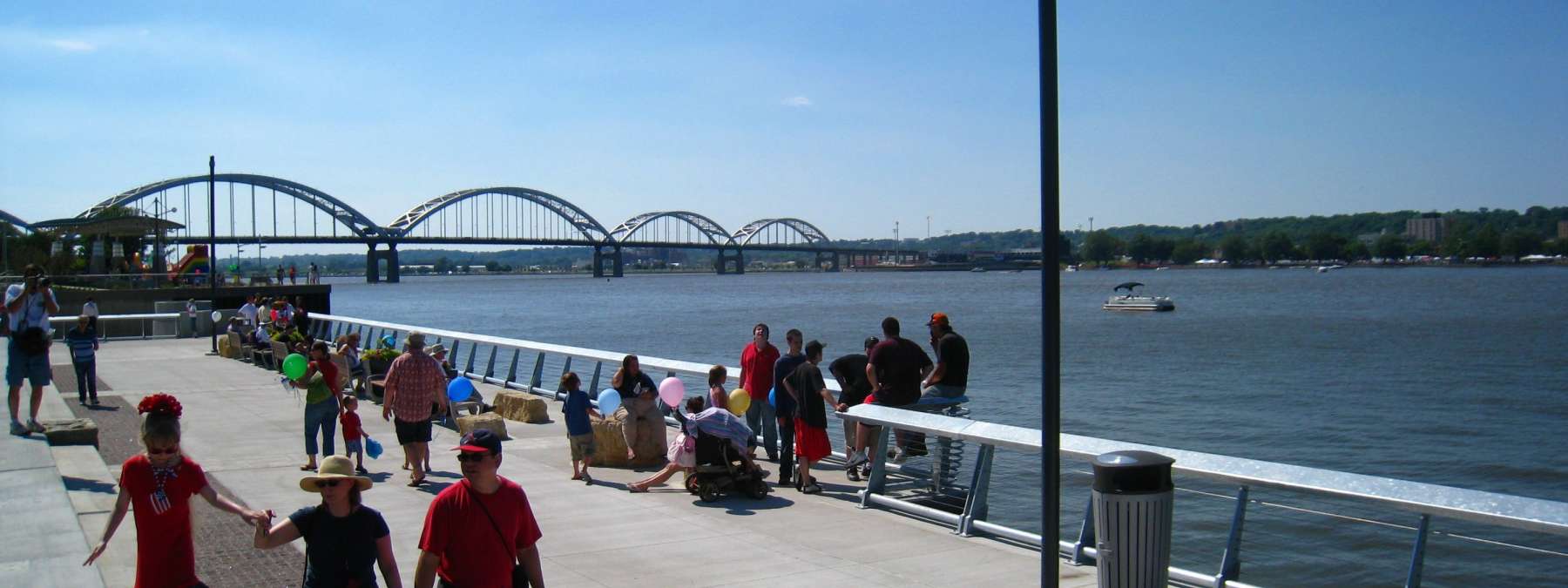
The Quad Cities is a dynamic family of communities on the Mississippi River where the river bends to run directly east to west. This bi-state (IA/IL), multi-city region is the largest metropolitan area on the upper Mississippi River between St. Louis and Minneapolis.
The region lies within a 300-mile radius of 37 million people with close access to major markets like Chicago, Minneapolis/St. Paul, Des Moines, Omaha, St. Louis, Kansas City, and Indianapolis.
Brief Early History Of The Quad Cities
Centuries ago, the Sauk formed a village called Saukenuk where the Rock River empties into the Mississippi. It became the largest Native American settlement in North America. The Meskwaki tribe settled near Saukenuk and created their own villages along the Mississippi. As part of a treaty with the Sauk and Meskwaki, Arsenal Island was purchased by the U.S. Government in 1804. In 1816, the U.S. Army built Fort Armstrong on Arsenal Island providing a military presence on the frontier and monitoring water passage on the upper Mississippi. The Rock Island Rapids occupied 14 miles of the Mississippi River (from LeClaire to Rock Island). Settlements grew at the head and foot of the rapids as a result of the need for a place to dock and store goods before and after the treacherous passage. In 1854, the railroad reached Rock Island and in 1856, the first railroad bridge across the Mississippi was built here. An attempt was made in 1907 to tame the rapids, and in the early 1930s, the Corps of Engineers installed the first lock and dam.
 Metropolitan Statistical Area
  Major Employers
 Airport